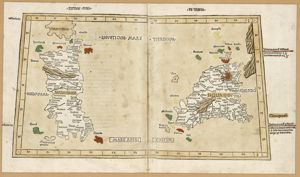
Carte / des Bouches de Bonifacio / Levée et Dressée en 1821 et 1822 / Par Mr Hell Capitaine de Frégate, Chevalier de S. Louis et de la Légion d'Honneur, / Chargé du Travail Hydrographique de l'IIe de Corse / Secondé par MM. T Deloffre et A.e Mathieu Lieutenans de Vau Chevaliers de la Légion d'Honneur / A. T. Allegre et E. Lapierre Enseignes de Vaisseau. / Publiée par ordre du Roi / Sous le Ministère de Son Excellence M.le Marquis De Clermont-Tonnerre / Pair de France, Secrétaire d'Etat au Dèpartement de la Marine et des Colonies / Au Dépot-général de la Marine / en 1823, tavola n. 104 (3)
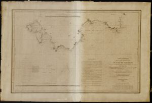
Carte Générale / de la Côte Méridionale / de l'Île Sardaigne / depuis le Cap Altano dans l'ouest jusq'au Cap Ferrato dans l'est; / Levée en 1842, / par Mr Jurien-Lagravière, Capitaine de Corvette, commandant le Brich la Comète, / par MM.B. Darondeau et J. de la Roche, Ingénieurs Hydrographes de la Marine, / et L. Gaussin, Elève Hydrographe, / Assistés de MM.A. de Larminat et C. Ferrand Lieutenants de V.au et de MM J. Aune, A. Besson et Larrieu, Enseignes de V au ./ Publiée par ordre du Roi / Sous le Ministère de M le Baron de Mackau, / Vice Amiral, Pair de France, Secrétaire d'Etat au Département de la Marine / et des Colonies, / Au Dépòt-général de la Marine, / en 1846, tavola n. 1124


Comments